How A GPS Tracker Works
Have you ever wondered how GPS works?
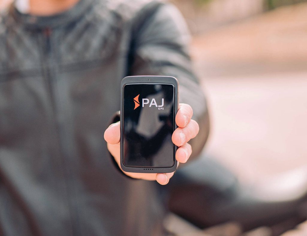
Positioning device are one of the most affordable car security solutions and a business aid. These small devices are used to track and monitor vehicles and things that require additional security. Trackers can perform more when attached to cars than when they provide a live location. It can set virtual boundaries, send speeding alerts, and detect vibrations. It is really something that everyone should use and enjoy the benefits because of the size of the device and the tasks they perform. Furthermore, it is considered a resource that can monitor assets in the field from a business point of view. These trackers are of great use for businesses involving transportation, such as taxi services and delivery networks. A fleet of taxis can be tracked using a single computer application. Now let us dove deep into how GPS works.
How does a GPS Tracker work?
There are many manufacturers of tracker devices, and the functionality of each device varies accordingly. The prime focus of a tracking unitis to provide live tracking to the user. Everything else was an add-on feature in these devices. Therefore, to explain how positioning device work, we must first explain how live tracking works.
There are 3 parts in a GPS Location tracker.
- GPS receiver and integrated program console
- Network adapter
- Web application
In a positioning device, the GPS receiver receives the signal from satellites. It then calculates the location on the map using a microchip processor. The network adapter then transfers the output coordinates from the microchip to the web server. Further visualization and computing were performed at the server level, and the final output was displayed on the user screen.
GPS receiver and integrated program console
The GPS receiver is responsible for connecting the tracker device to the GPS satellites in space. This device receives incoming signals from satellites. It requires signals from at least 4 satellites to locate the position of the GPS receiver on earth. There are 32 GPS satellites that cover the entire earth. The accuracy of GPS location mapping increases when the GPS receiver receives signals from more than 4 satellites.
The program console is a microchip that acts as a mother board to communicate between different components in a location tracker. It acts as a base for performing computational tasks and for the exchange of the resulting output between components in a locator device. It is also responsible for coordinated working among the connected components.
Network adapter
The network adapter helps the locator device to send the data from the tracking device to the servers with the help of the internet. It holds sim cards that connect the positioning device to the cloud server. The data include coordinates of the current positions and data from other components. This information is transferred instantly to the servers so that the user can analyze it in real time.
In fact, these data transfers are quick and updated within nanoseconds, thus enabling live tracking.
Web application
The web application helps us visualize the data from the locator device for better understanding. It is stored on secure servers so that only authorized people can view it on their cell phone or desktop. The data from the GPS trackers are carefully processed and displayed on the application dashboards, and we can draw useful inferences from it.
For businesses, the dashboards on a Geo-tracker device help to understand asset allocation and running costs.
Working of a Navigation tracker – Step by Step
The systematic working procedure of the locator device is as follows: Once the navigation tracker is attached to the car, it attempts to capture signals from the satellite’s networks. As discussed earlier, the program console then determines the distance between the GPS receiver and the satellites using the time required to receive the signal and the speed of the signal. These distances from different satellites can be further used to determine the location on Earth. All these computations occur in fractions of seconds, so there will be no delay in the calculation.
Once the location is identified, the car tracking device then attempts to send the data to the end user using the internet. For this purpose, the satellite tracker is enabled with network adapters. Usually, an M2M sim card performs well irrespective of the country. This means that one sim card can be used in all countries without any additional cost. The data from the locator device are first logged and processed in servers and then radially made available to the user devices in a much more comprehensive way.
GPS Tracker for Fleet Management
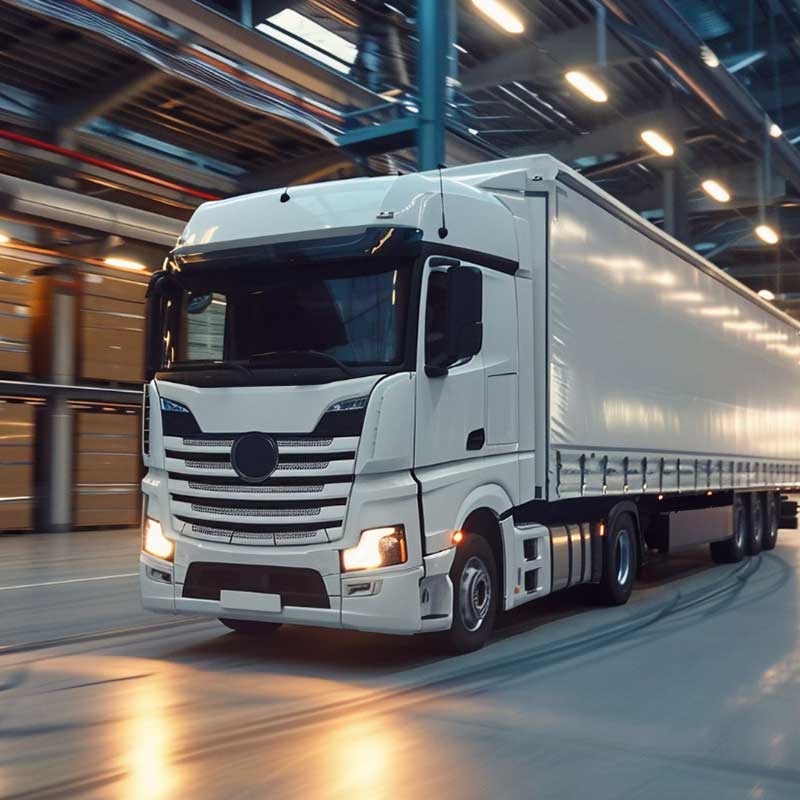
Tracking unit can be used for fleet management. Unlike tracking a single car, fleet management requires strong computational and data transfer speed. The advantage of fleet management using Geo- trackers is that it only requires a single application interface to manage all location tracker on different vehicles.
Fleet management opens many additional options to the customer. Using the Finder portal, the user can easily find nearby devices. The heat map on the application tells us about the location where the vehicle spends most of its time.


