


How GPX Files track without internet
May
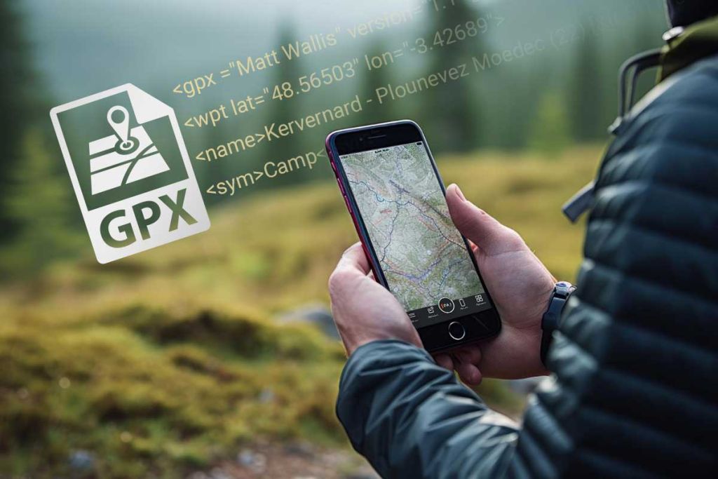
If you have a smartphone, you would have probably used Google Maps for navigation by now. They use the internet to navigate you to the required destination. But what if you don’t have internet on your phone? Getting lost in an unknown area seems so scary. But no worries, there is GPX to show you directions. GPX stands for GPS Exchange Format, which was developed and released by the company Topografix. GPX are XML files that download and store a file of the path you are navigating which will help you on your journey toward your destination.
More about GPX File
Gpx files is an Extensible Markup Language(XML) file specifically developed for storing GPS data. Different GPS data like individual coordinates, connections between waypoints, routes, and tracks, or various locations are saved in an XML file to retrieve later when need occurs. Let’s say you are in some kind of outdoor activity like hiking, cycling, or boating, and there is no internet. You can easily share and use geographical information with these files. They can be opened and used with Google Maps or Google Earth.
Importance of GPX files
We have mentioned above that GPX files can be extremely helpful in navigating unknown places where internet access is not available but, how?
Pre-loaded Data: Whenever you travel to an unknown place, make sure you download GPX files that contain routes, tracks, and waypoints relevant to the location. This data can include paths, points of interest, and landmarks. These will help you navigate and not get lost even without the internet.
Tracking and Recording: You can also use GPX files to record your tracks as you travel. Later, they can be easily viewed on a map or shared with others. Providing a detailed account of where you’ve been, can be useful for documenting trips or exploring again in the future.
How to open GPX files and use them on your smartphone
A suitable way to use GPX files is by opening them on the Google Earth app, which you can download for free. It can also be opened using Google Maps, which is simple. If you are using Google Earth, import GPS files under the menu items ‘File’ and ‘Open’ in the top right bar in the drop-down menu. Now you can easily select files with extensions .gpx, .loc or .mps. In the ‘GPS data import’ window, activate the ‘Draw lines and tracks for routes’ option and ‘Adjust heights to ground heights’. Then confirm everything with OK, and save. Now, you can import and display the GPX files. Editing such files for GPX is also no problem; you can easily customize waypoints, track paths, and create them yourself. To do this, select the ‘Locations’ item in the program and then select ‘Get Info’ from the ‘Properties’ menu items. The edited files are then saved and are ready for export.
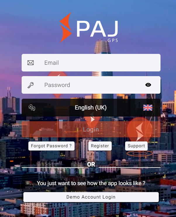
How to download GPX files in PAJ V2 Finder-Portal
Step 1: Log into PAJ V2 Finder-Portal
Step 2: Select your tracking device

Step 3: Select route

Step 4: Set Data range and Export Route
File will be now downloaded according to the format you want.

Step 5: Once downloaded, transfer the GPX file to your GPS device or smartphone for viewing the route.